Maps / Navigational Aids
The Kattamorda Heritage Trail is on forested land managed by DBCA and the trail passes through three local government areas. The southwestern edge of the trail is within the City of Gosnells and the northeastern section is within the Shire of Mundaring, with the majority in the City of Kalamunda boundaries. The Kattamorda trail connects with no less than 11 designated trails.
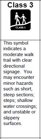
The trail is assessed as Class 3. There are numerous road crossings that allow you to leave the trail without being committed to the entire thing at once.
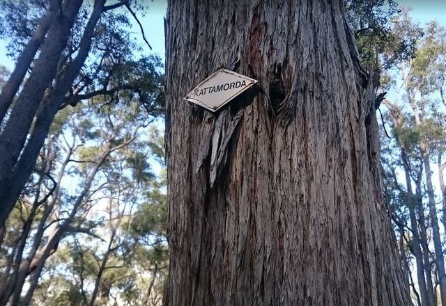
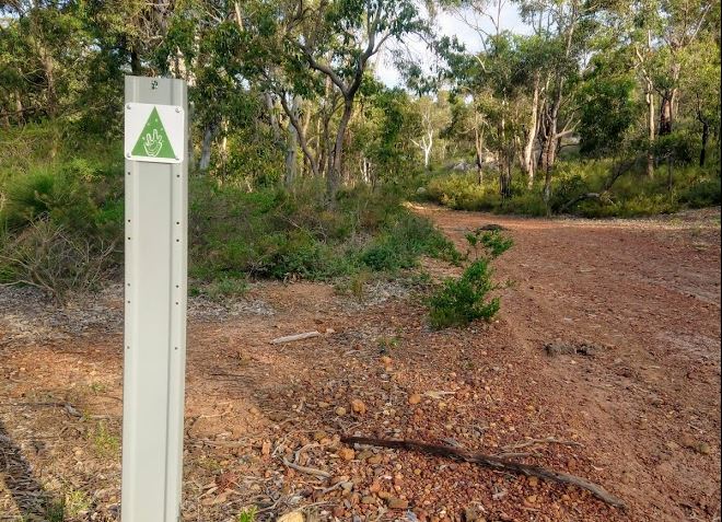
Original markers remain in trees along the entire trail, though they are often difficult to notice, as the trees have grown much in 30 years - the original markers are quite high now and faded.
The Kattamorda trail was permanently rerouted west of Mount Gungin summit in December 2022 to create a safer and more enjoyable hiking experience, as the area is has many fast mountain bike trails.
To successfully navigate the trail, we recommend you use a gpx or kml file on a navigational device, along with following the markers on the ground. We suggest you use the links on this website to obtain an electronic file. If you get your navigation file from another website (or app), we cannot tell you whether it will be correct or not. Anyone can post a route online - maybe they went wrong!
Travelling with someone else can be a distraction from your focus, but it can also be a second set of eyes to spot the markers along the way.
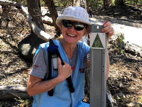
The new markers on posts have a potoroo paw print.
The Kattamorda does not need to be traversed in its entirely all at once. There are many ways to enjoy a short part of the trail as an "out-and-back" or in a loop, by connecting it with other trails such as the Bibbulmun Track.
Download the full Kattamorda gpx via links below:
South to North: right click here and choose "save link as."
North to South right click here and choose "save link as."
For the KML file: right click here
The southwest trailhead is at Hardinge Park and the northeast trailhead is at Mundaring Sculpture Park.
Download the historical 1998 Kattamordo Heritage Trail brochure by clicking here.
For other walk trails within the City of Gosnells click here, for City of Kalamunda walk trails click here, and for Shire of Mundaring trails click here.
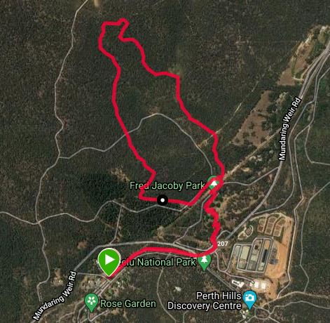
For a shorter loop that incorporates the Kattamorda Heritage Trail, here are three options:
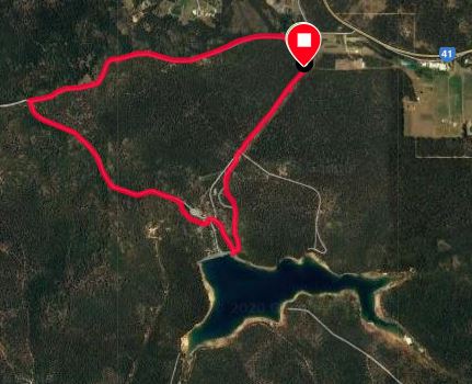
6km +/- 145m loop from the upper Victoria dam carpark. There is a toilet block and water at the Victoria dam recreation area. Right click here and choose "save link as."
_________________________________________________________________________________________
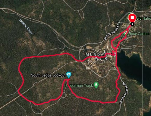
6.5km +/- 190m loop from Mundaring Weir Hotel via the Bibbulmun Track to Kattamorda. There is a toilet block and water in the Mundaring Weir recreation area. Right click here and choose "save link as."
_________________________________________________________________________________________
6k +/ 135m from Mundaring Weir Hotel to Fred Jacoby Park to Portagabra Trail. There is a toilet block in Fred Jacoby Park. Right click here and choose "save link as."